Taken on one of our dog walks this week, enjoying the unseasonably warm weather.


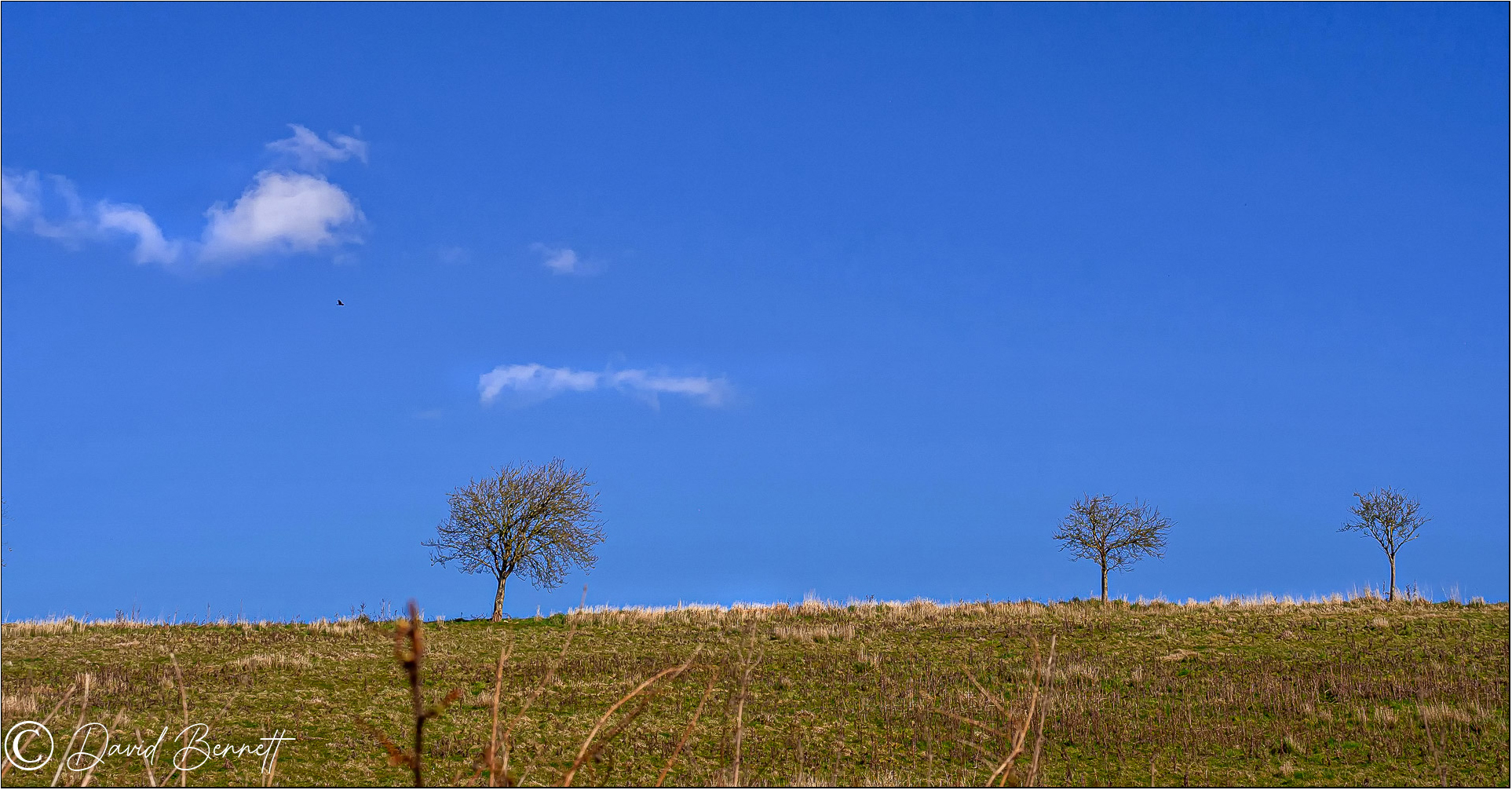


Olympus EM10 Mk2 + 12-40 Pro lens.

LINCOLNSHIRE CAM. Photographs taken in Lincolnshire and other areas/topics by David Bennett, assisted by Popcorn.
Taken on one of our dog walks this week, enjoying the unseasonably warm weather.
Olympus EM10 Mk2 + 12-40 Pro lens.
Some while ago I decided to photograph the Louth Canal from it's source on the North Sea coast of Lincolnshire, UK, to it's final destination in the market town of Louth, 11 miles inland. It starts it's journey at the Tetney Marshes as an inlet from the North Sea, at this point the waterway is known as the "Tetney Haven".
Well, the Covid 19 pandemic put a halt to that idea but I've decided to make a start and hope I can get some of it done. I intend to photograph it in stages along it's course and include anything of interest in the areas along the way.
So I began at Tetney Lock and walked out to the marshes where the journey starts.
 |
| The start of the walk, from here it's a brisk 20 minute walk to the marshes where the Haven comes in off the North Sea. When I left home we had clear blue skies but now clouds began to come down from the Lincolnshire Wolds, not the best lighting but here goes anyway. |
 |
| This is the Tetney Haven and the Sea gates that close to prevent the twice daily tides from flooding Lincolnshire. (A brief break in the clouds). |
 |
| Away in the distance is one of the WW1 forts built in the Humber Estuary. |
 |
| These are the sea gates, a better view of them on the way back. |
 |
| In the distance is the Humber Mouth Yacht Club and beyond that the Dock Tower at Grimsby. The telephoto lens has compressed the perspective as the yacht club is 3 or 4 miles away. |
 |
| Looking out over the marsh to North Coates Point, wind turbines and a ship out in the North Sea. |
 |
| A flock of geese came over, in my youth I spent days & weeks down here bird watching. |
 |
| This is as far as I walked out onto the marsh. There's an offshore Monobouy at the mouth of the Humber Estuary where oil tankers off load crude oil to go to the Conoco Oil Tank farm at Tetney Lock. Here is the delivery pipeline as it emerges from below ground to cross over the Haven. It goes back underground for a short while where it can be seen in the distance going over the main embankment. |

 |
| Just below the pipe is a smaller one discharging fluid of some sort. Not sure what it was but it smelled bad! |
 |
| Here the pipeline arches over the embankment between the marsh and farming fields. |
 |
| On the return walk, this gives a better view of the sea gates. |
 |
| Two sets of heavy gates, the pressure of the incoming tide closes them and then, as the water level lowers on the ebb tide, the water on the inland side opens them again to allow flood water from the Lincolnshire Wolds to go out into the North Sea. |
 |
| Looking back along the Haven from the bridge over the flood gates. |
 |
| WW2 pillbox bunkers and yes, we used to play in these when we were kids. |
 |
| This embankment has a footpath back to the yacht club and you can see the oil pipe arching over it. |
 |
| Two more views. |

 |
| The next few photo's show the course of the Haven and where I spent many happy days/weeks and years of my life fishing & camping. |


 |
| A view over the farm fields to North Coates village where there used to be an RAF camp with Bloodhound missiles based there. The aerodrome is now the home of the North Coates flying club. |
 |
| The final destination for the oil pipeline, the Conoco Tank Farm at Tetney. |
 |
| Adjacent to the tank farm is a wind farm, ironic to see this renewable source of power next to the old fossil fuel burning technology. Olympus EM1 MK2 + 12-100 Pro lens |
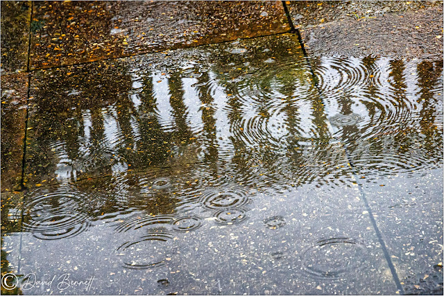
We've had a mixture of weather recently but did manage to get a couple of walks.
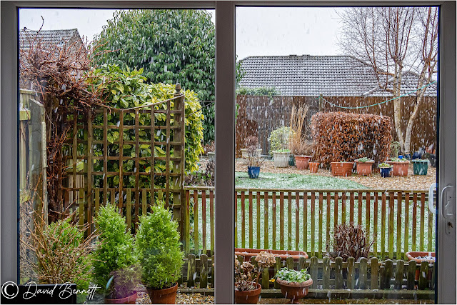 |
| Not the weather for a walk on this day. |
 |
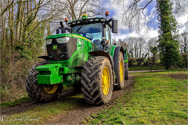
| A few days later the sun made an appearance and we saw these tractors. |
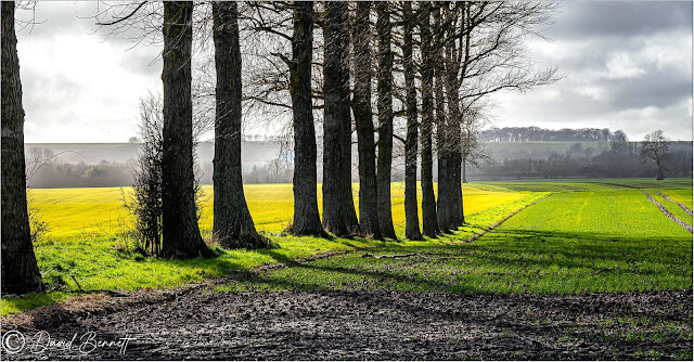 |
| On another day we had some pleasant sunshine, a row of Poplars near Waithe. |
 |
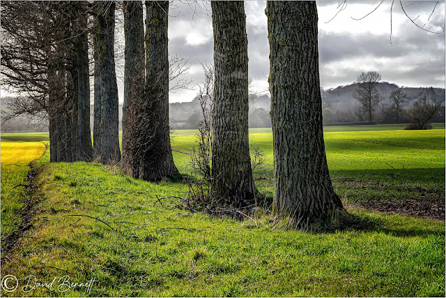
| Near to Waithe. |